River Maps
2021 & 2022
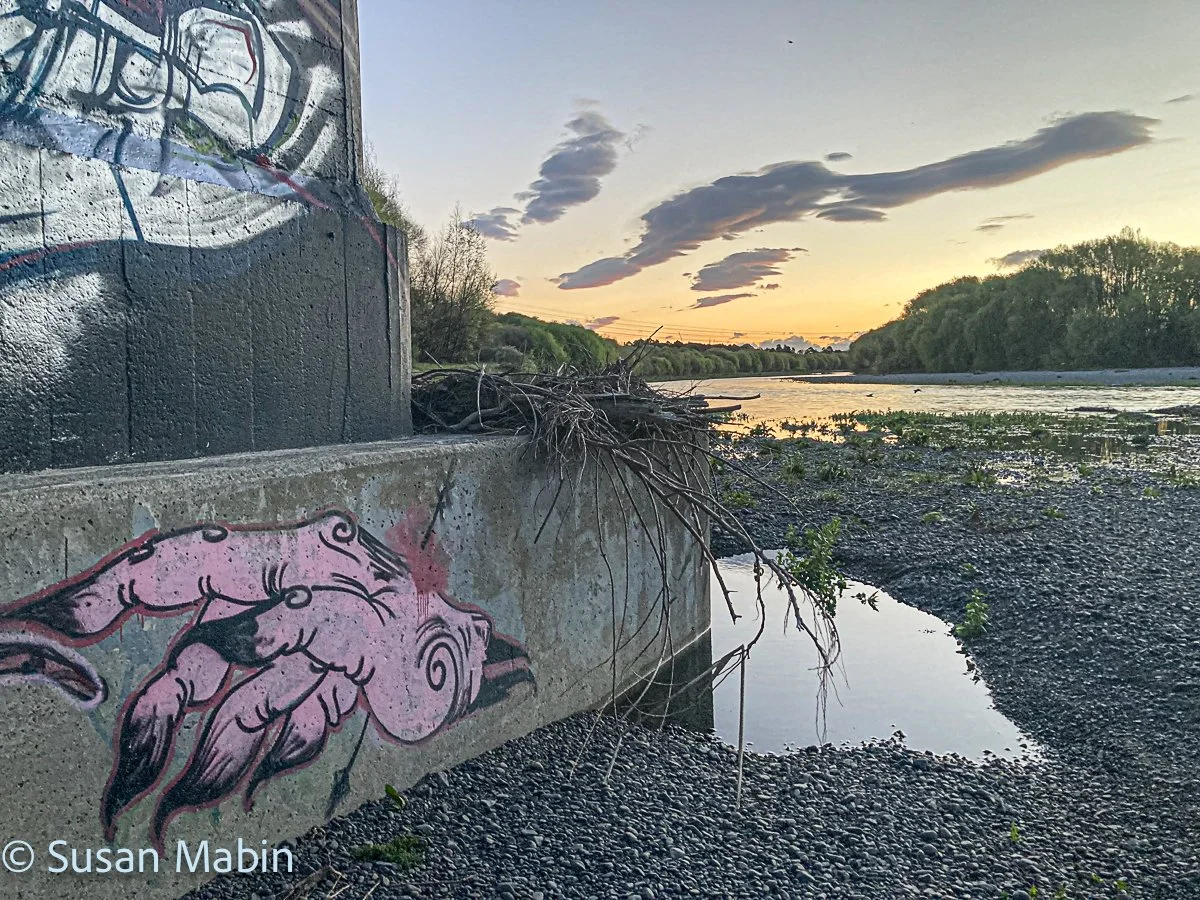
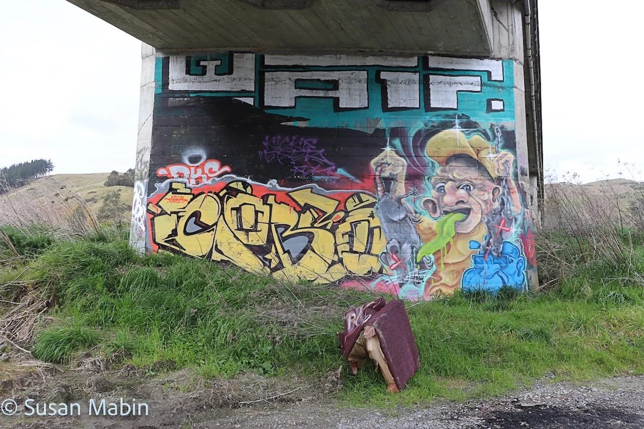
Redclyffe Bridge
Tūtaekurī River
Climate zone: Mild/temperate
Transition Zone: Coastal/River
Latitude:39.54980° S, Longitude:176.83572° E
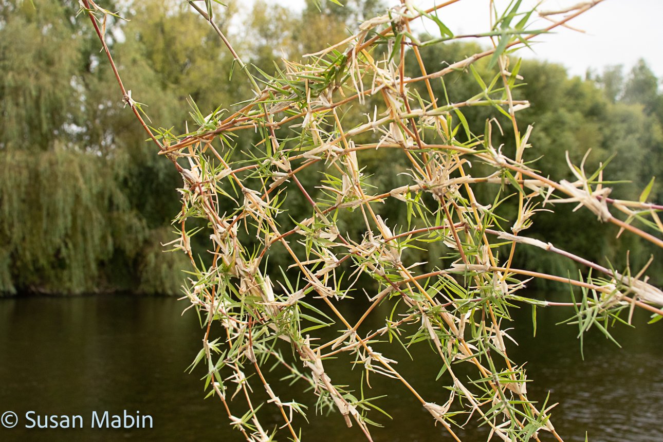
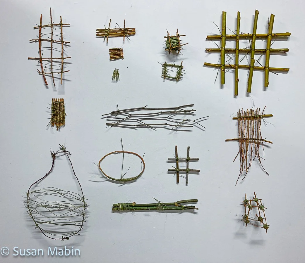
I now had a studio space at Waiohiki Arts Village, close to a portion of the Tūtaekurī River near Taradale, Hawke’s Bay. The Tūtaekurī River starts in the Kaweka Ranges and flows into the Pacific Ocean just south of Napier. I was going for walks down by the river and started photographing the place and doing some timelapses. While I did a timelapse I decided to make a small sculpture with the flora found by the river, photograph the completed piece there, and then take it back to the studio. In the studio I arranged them on the walls. By hanging these small works on the walls I enjoyed the different textures and shadows that each piece cast. It struck me how a lot of the plants down in the river bed are weeds, that have colonised the river beds, brought to Aotearoa by the English and Europeans (to remind them of home and to make blackberry pie). I was using harakeke to bind the weeds into a small art work, so I kind of think the work became a metaphor for colonisation. And, although the weeds have their beauty, without the harakeke the small sculptures simply fell apart.

Photos Below: Some of the pieces made out by the river.
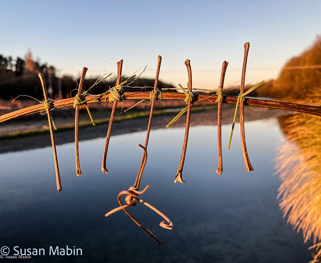
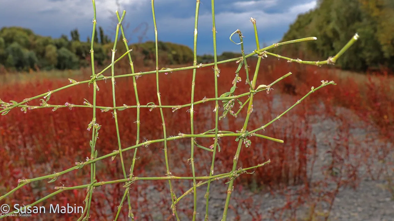
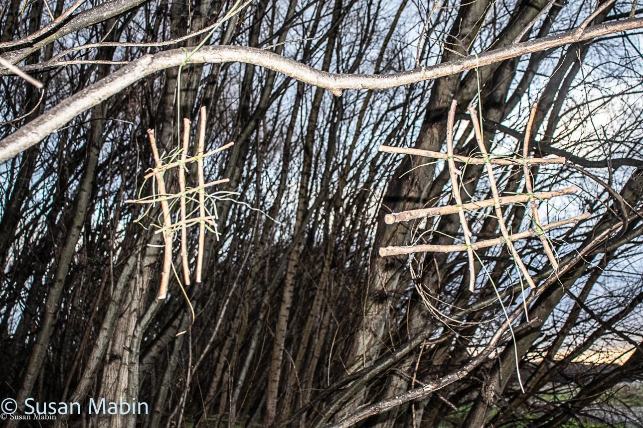
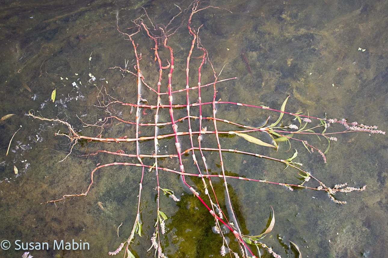
Documenting the area by photography
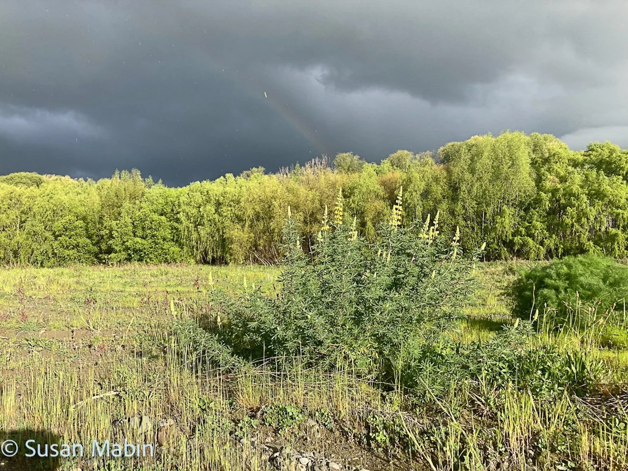
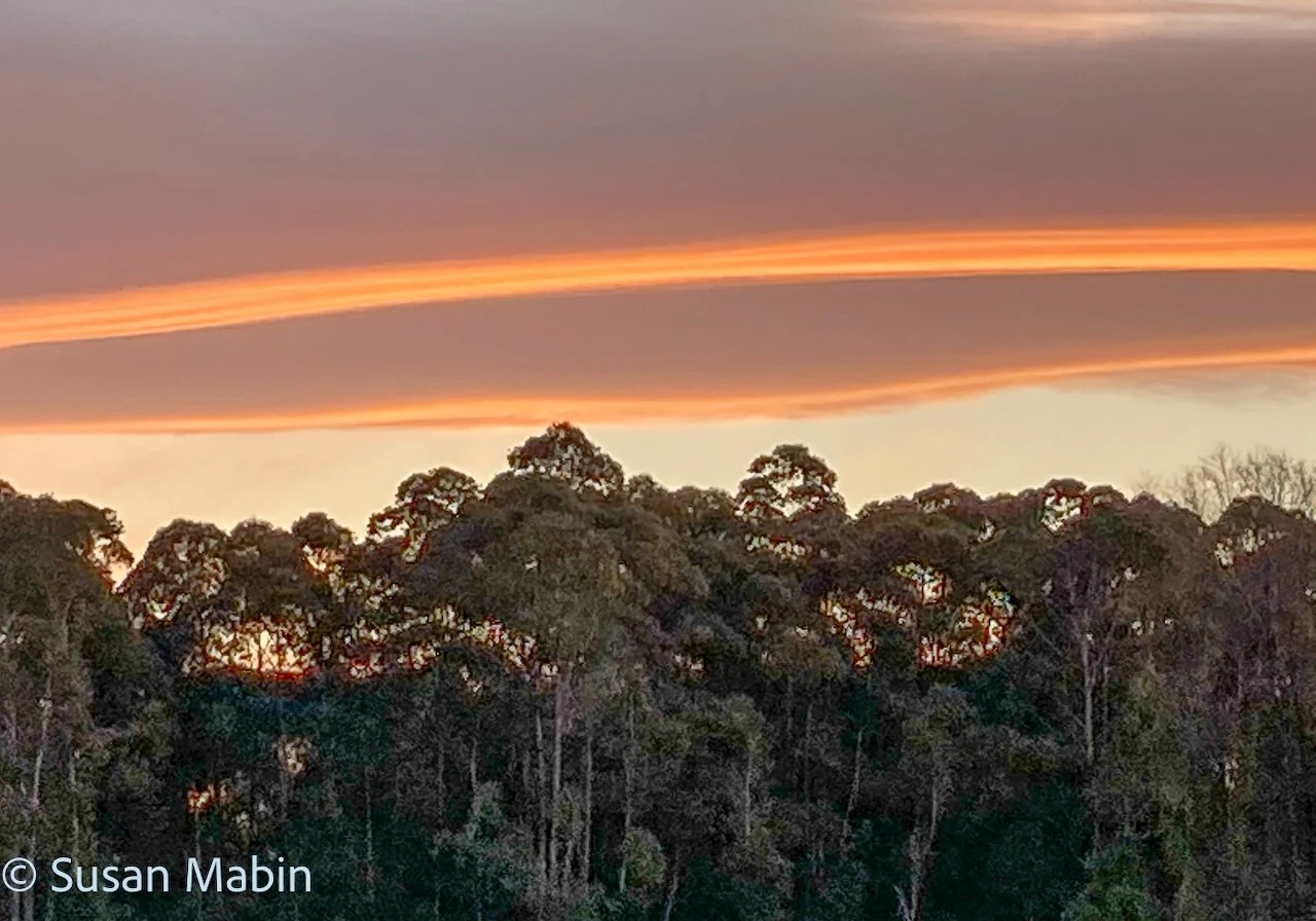
Photos Below: Some of the photos taken whilst doing this project.
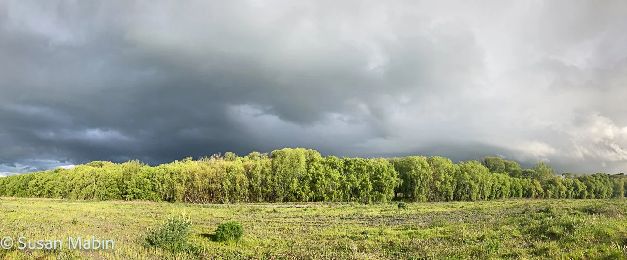
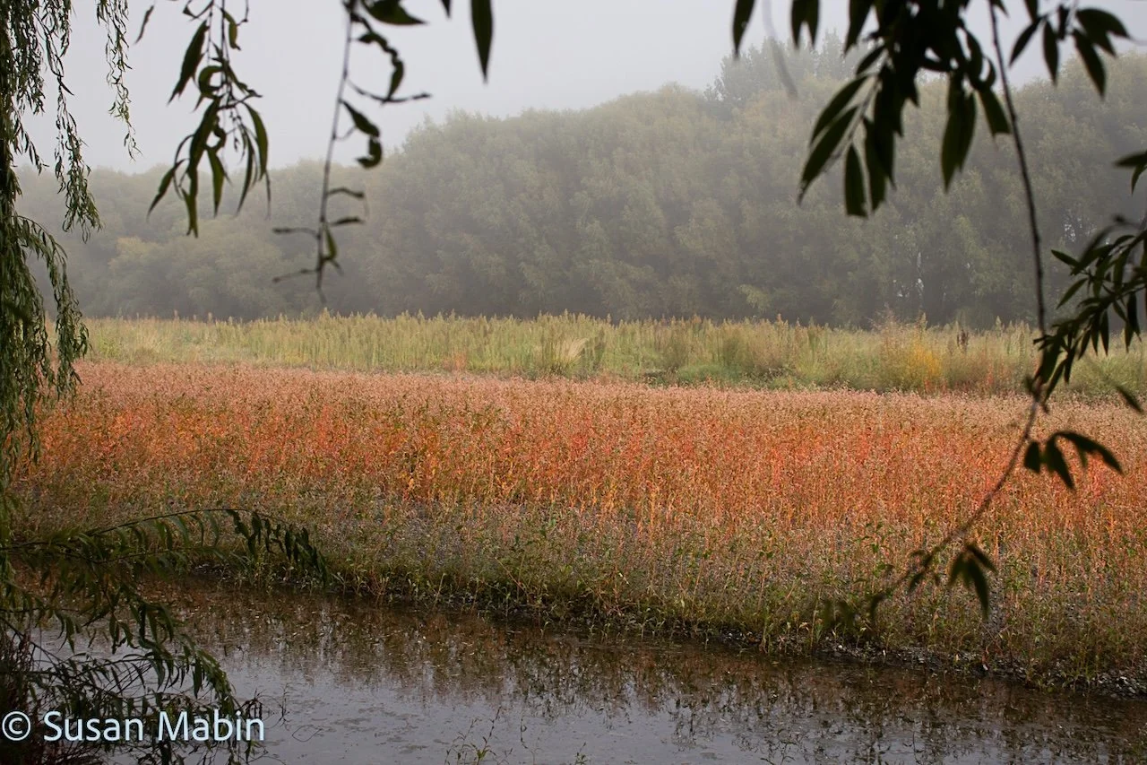
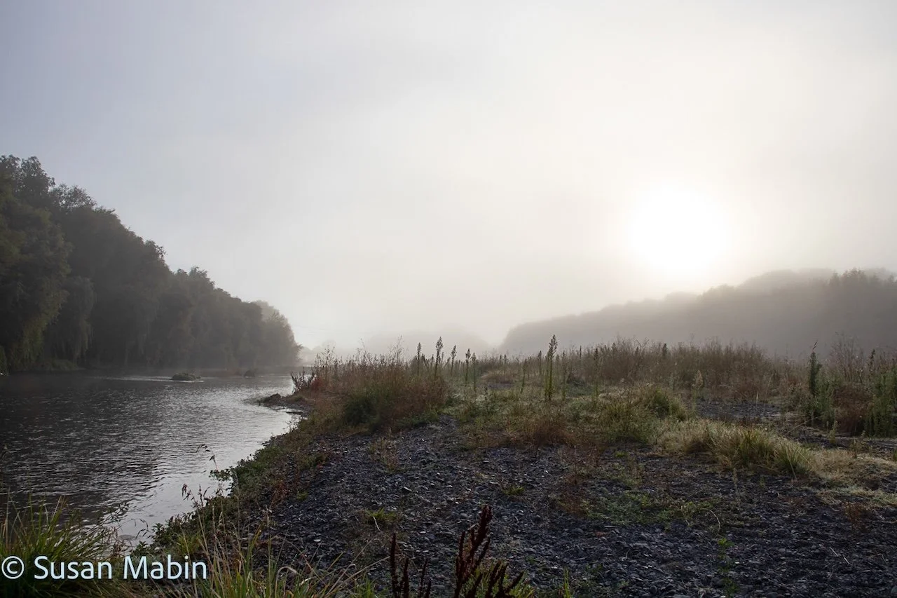
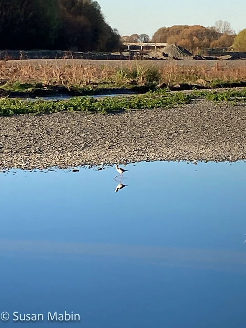
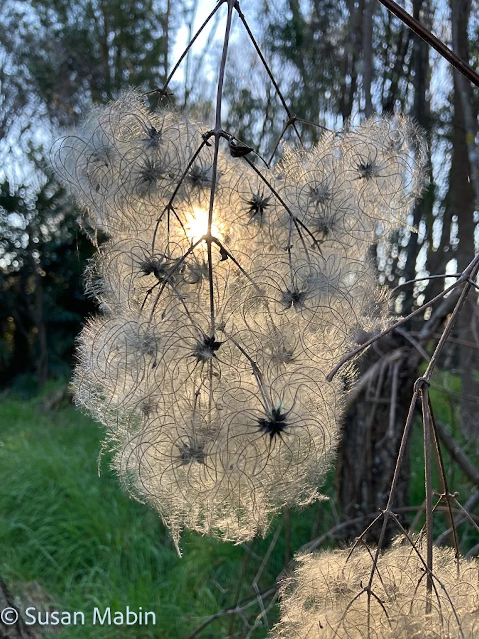
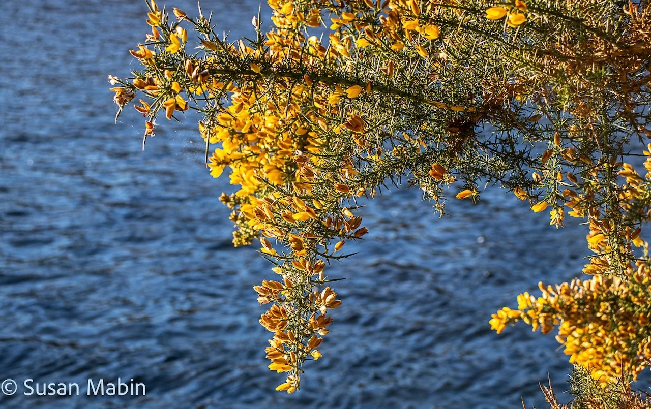
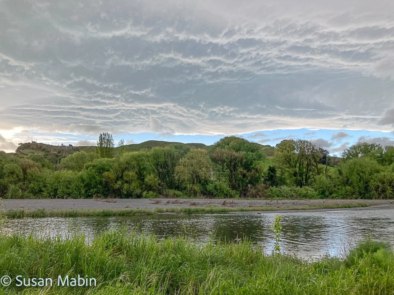
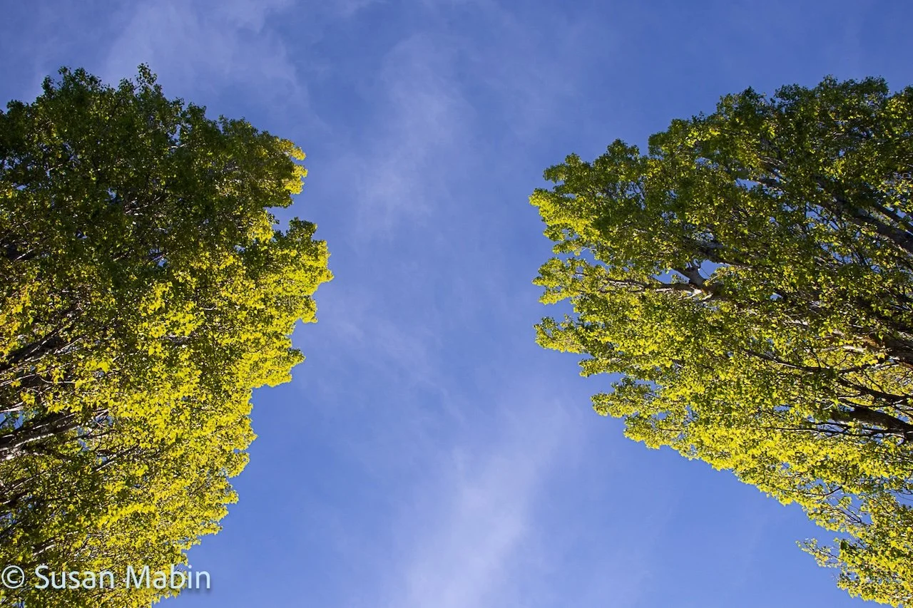
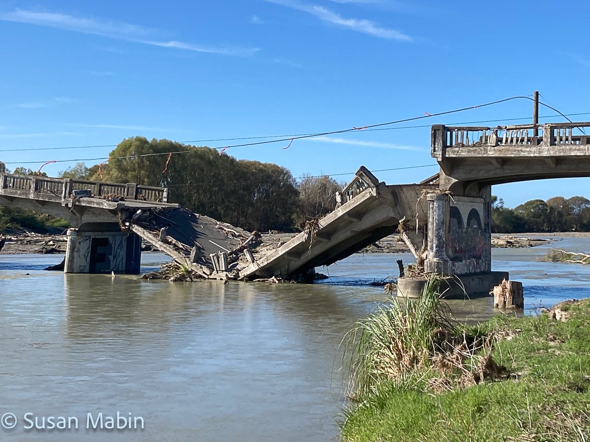
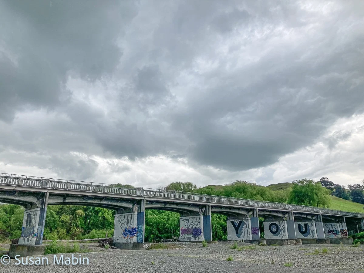
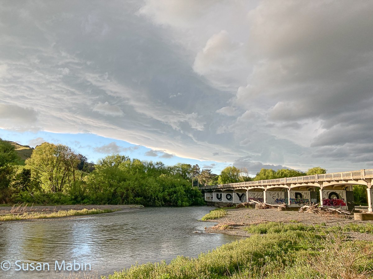
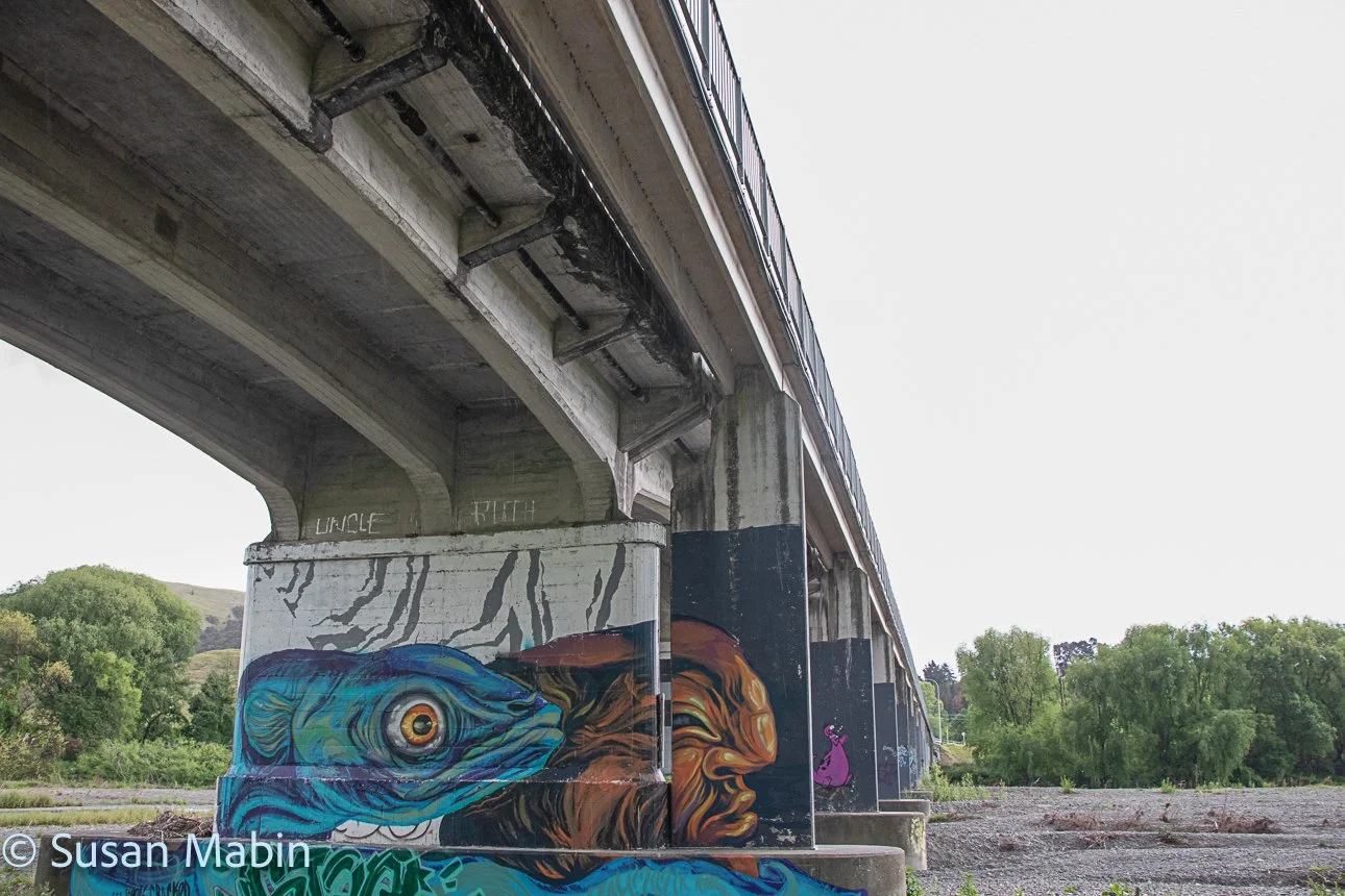
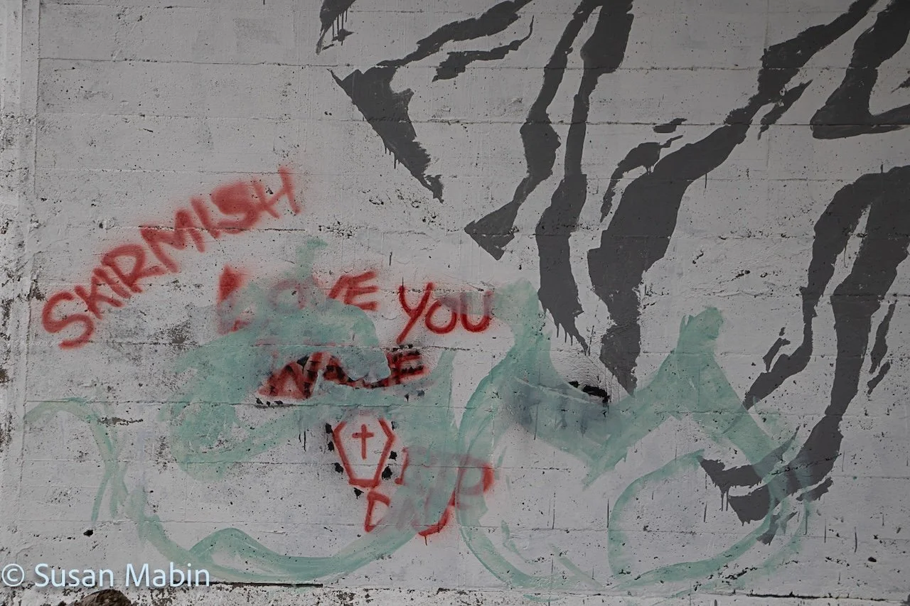
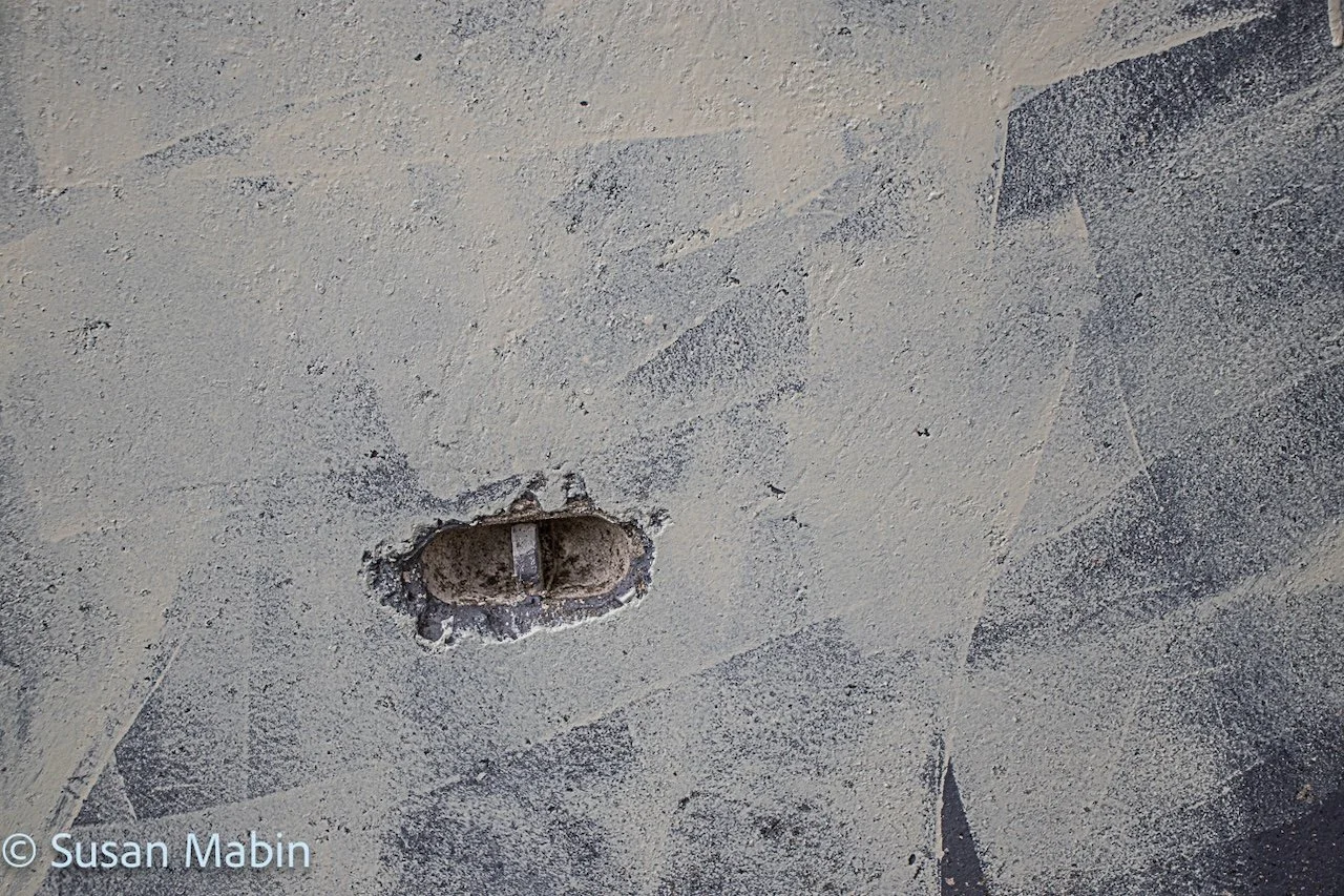
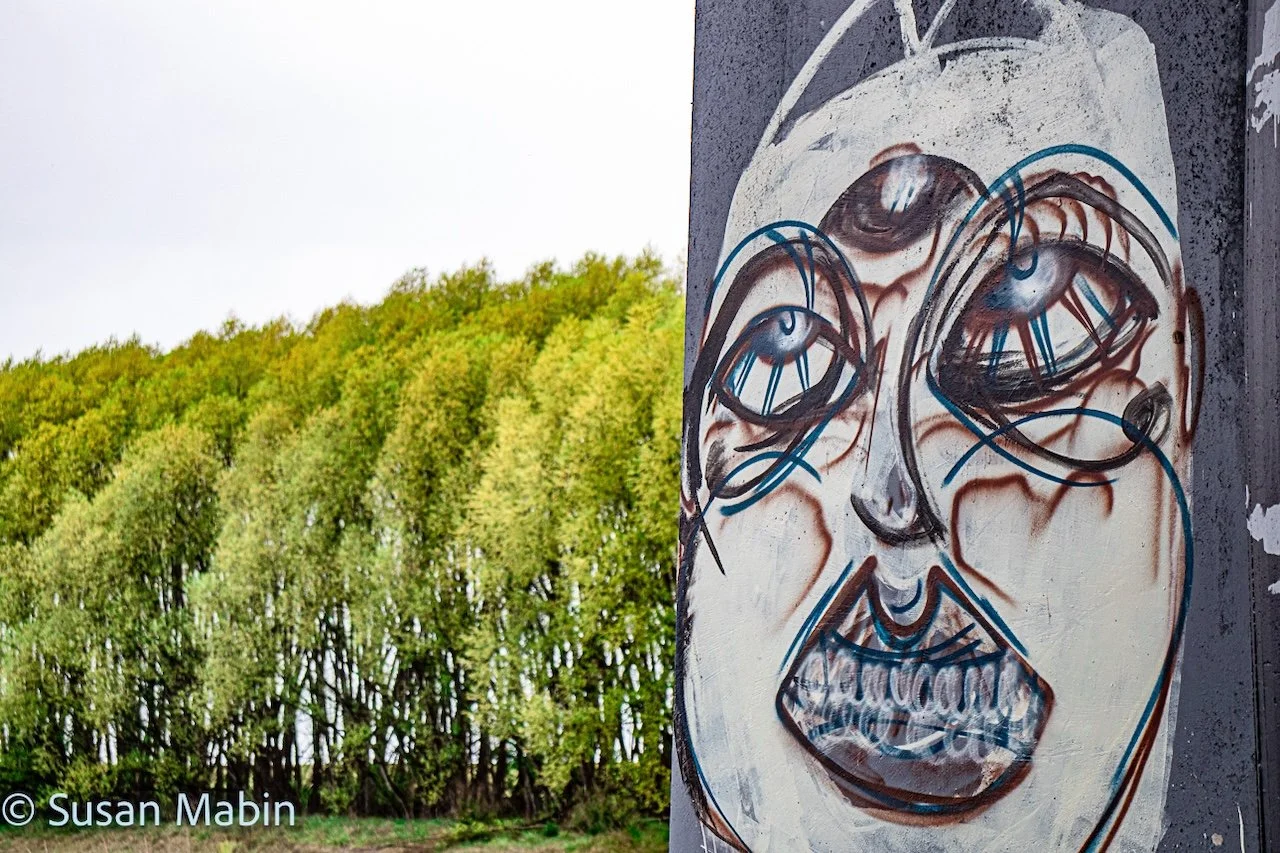
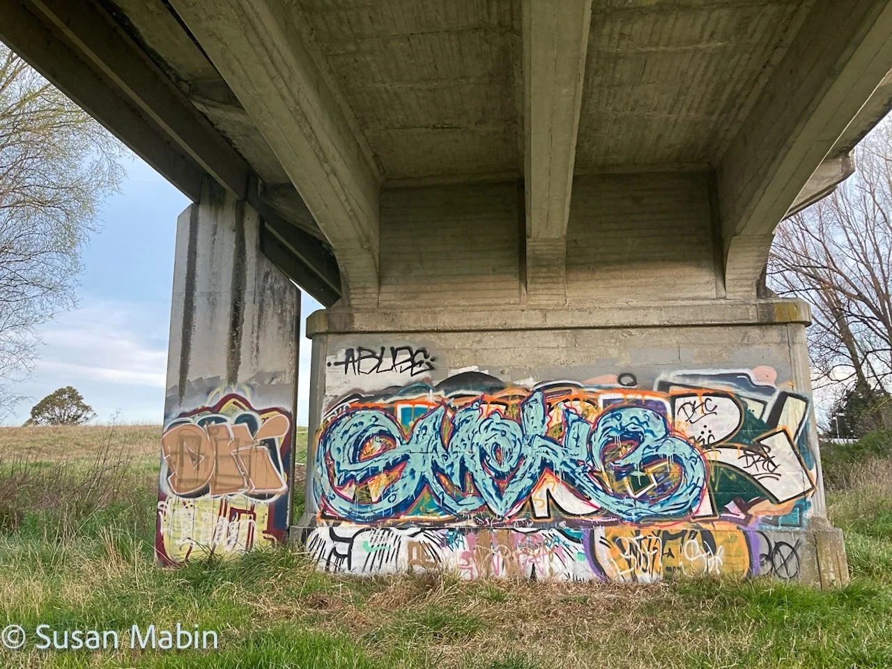
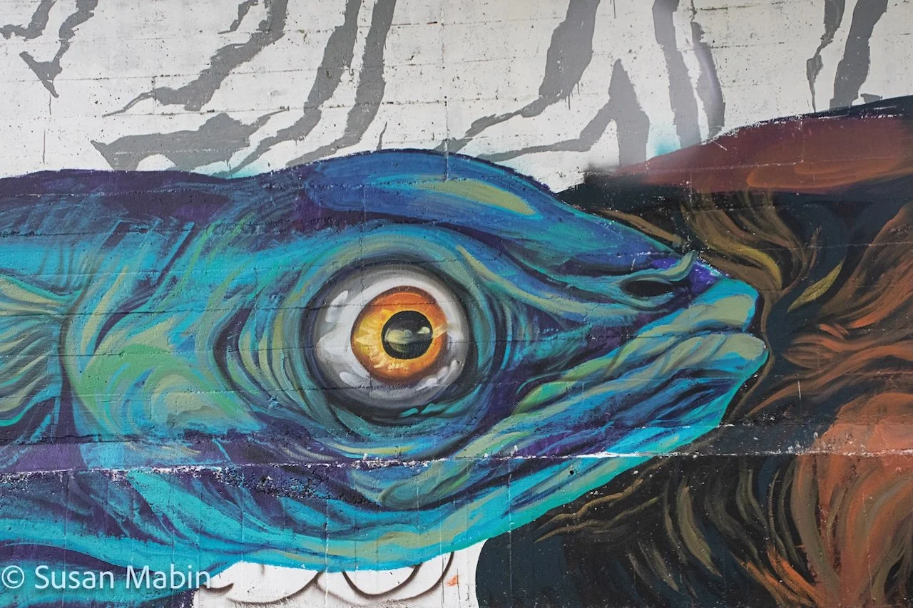
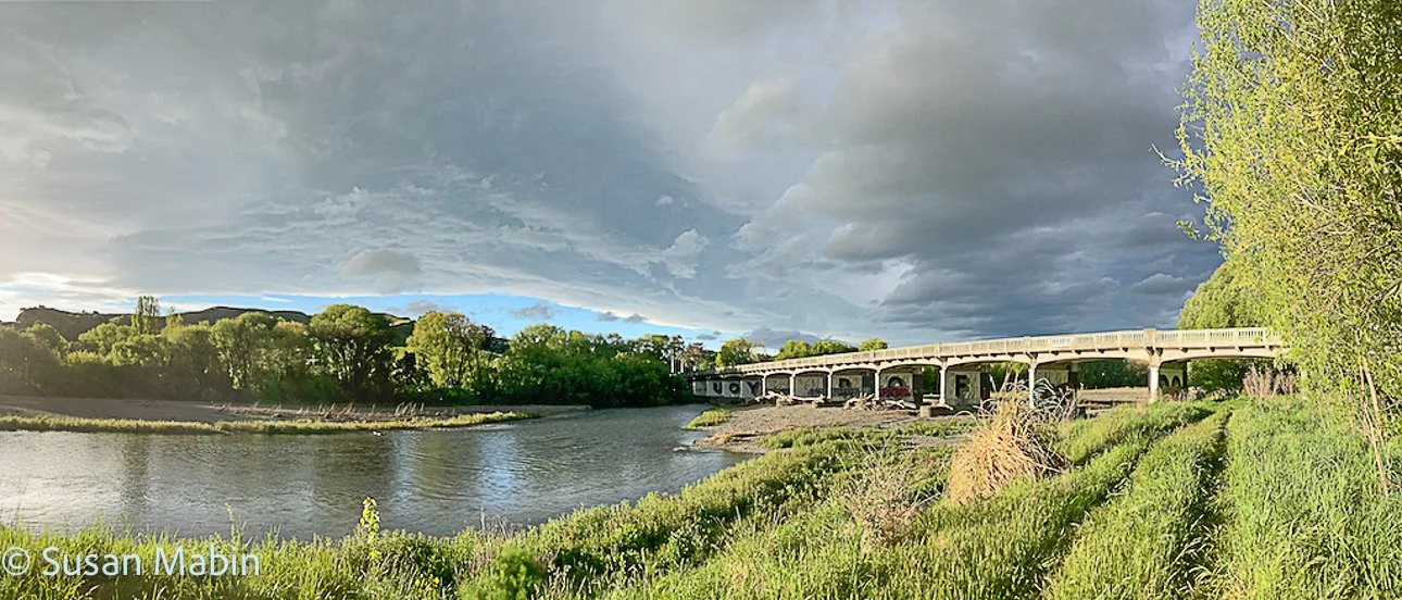
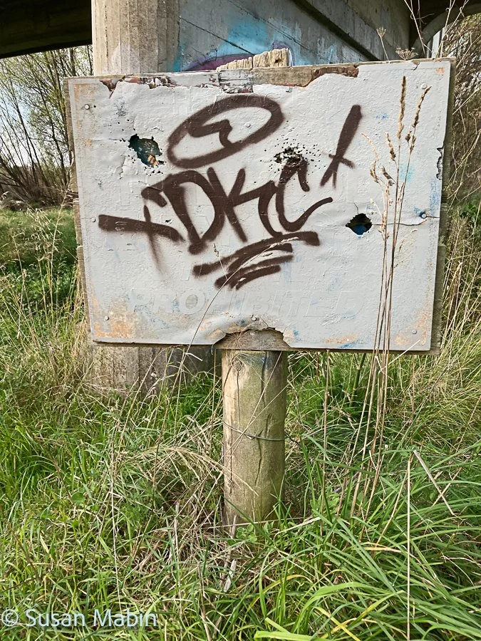
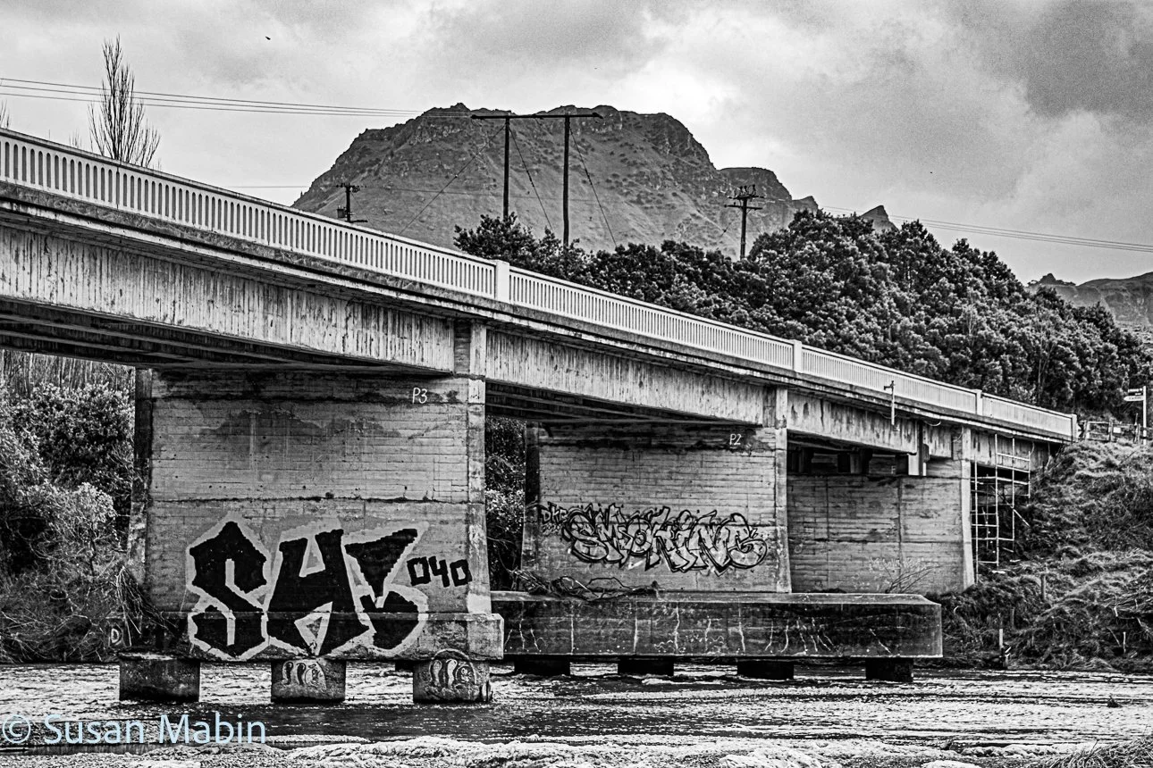
Photos Below: Redclyffe Bridge over the Tūtaekurī River in 2021/22. This bridge was taken out by the Cyclone Gabrielle floods in 2023, so its extra nice to have this documentation now.
The Flora Maps
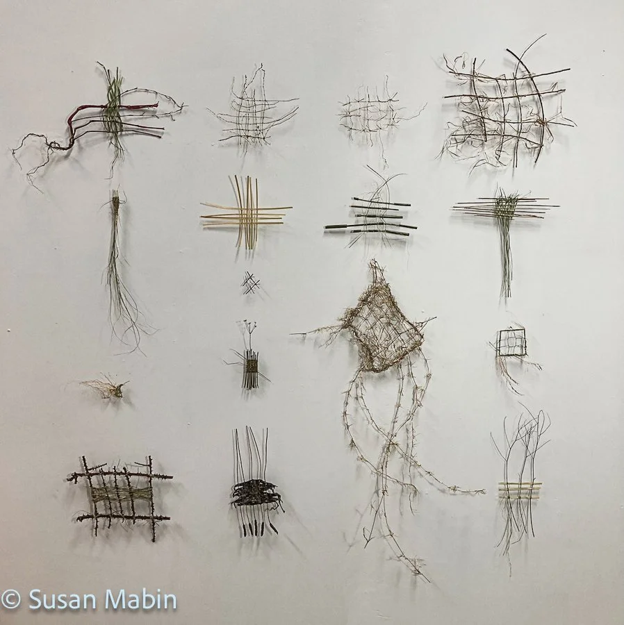
Map 1. Mapping the Flora of the Tūtaekurī River. 2021.
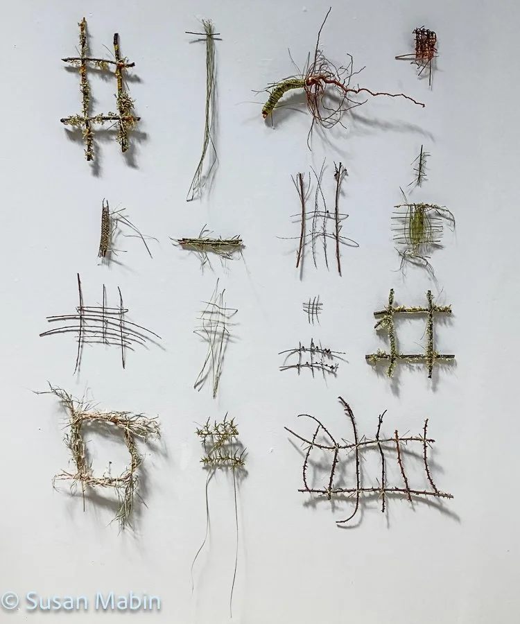
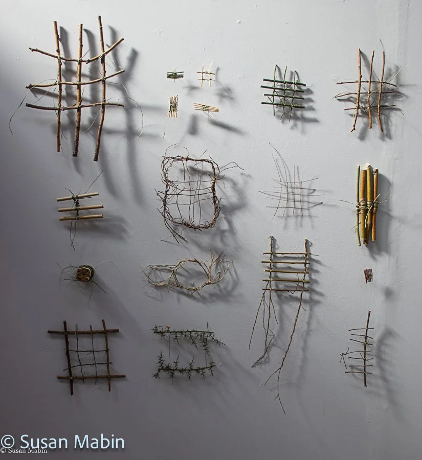
Tukituki River. 2022.
Transition Zone: Coastal/River
Latitude: 39.97186°S, Longitude: 176.62992°E
The Tukituki River flows from the Ruahine Ranges and flows into the Pacific Ocean at the Southern end of Napier/Hastings coastline.
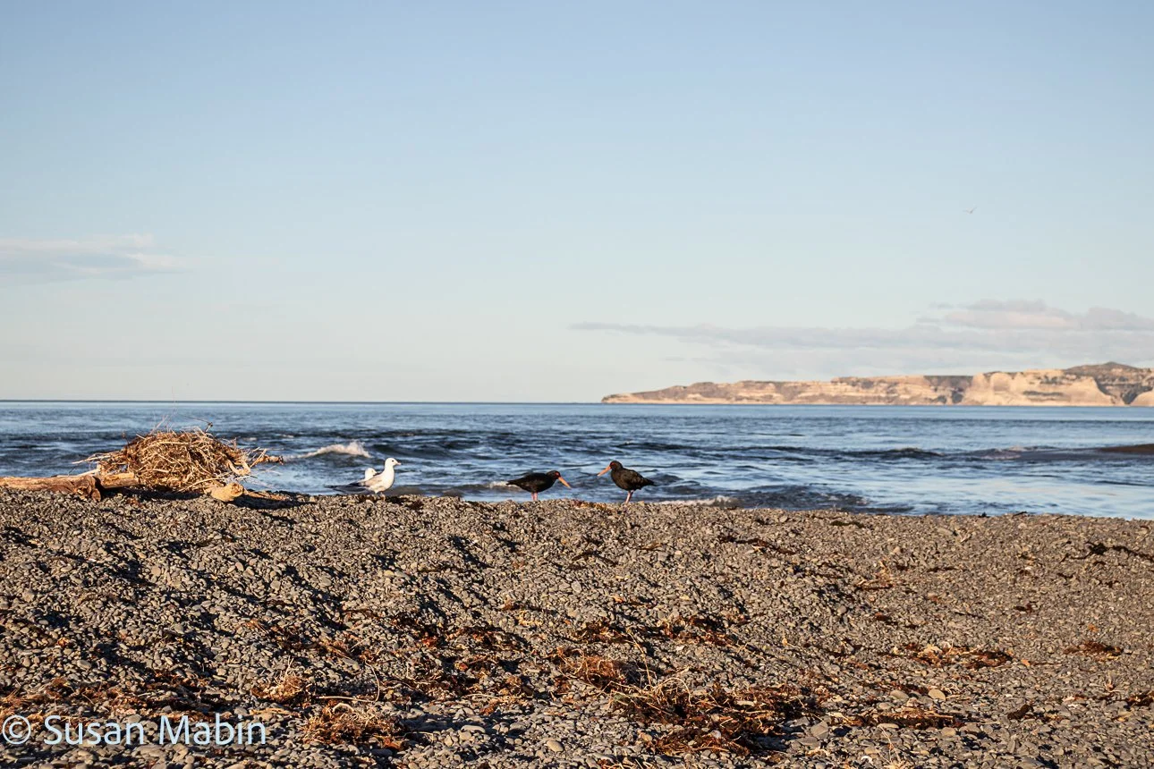
Where the Tukituki River meets the sea. Cape Kidnappers in the background. 2022.
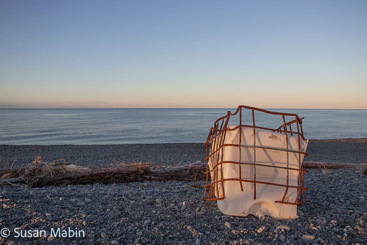
Photos below: At the river mouth of the Tukituki River.
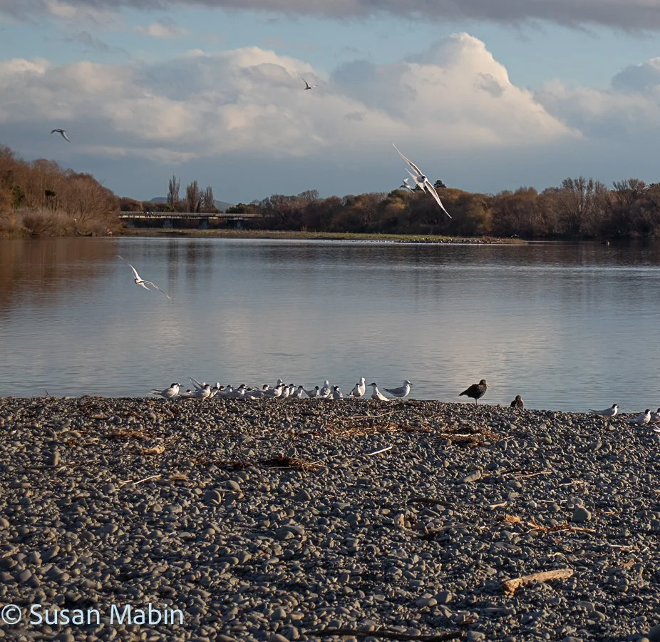
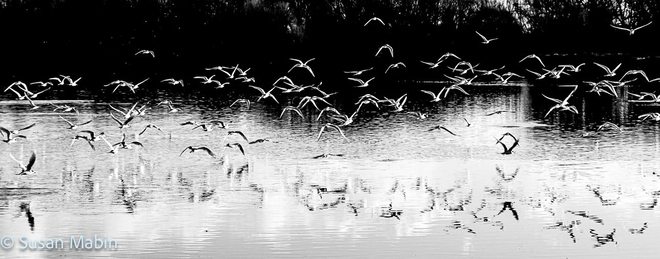
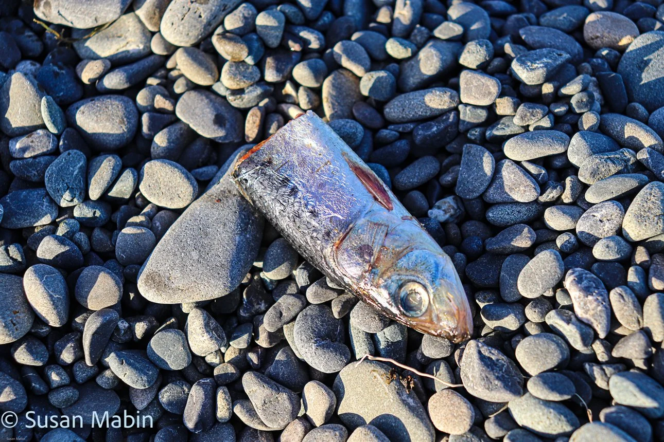
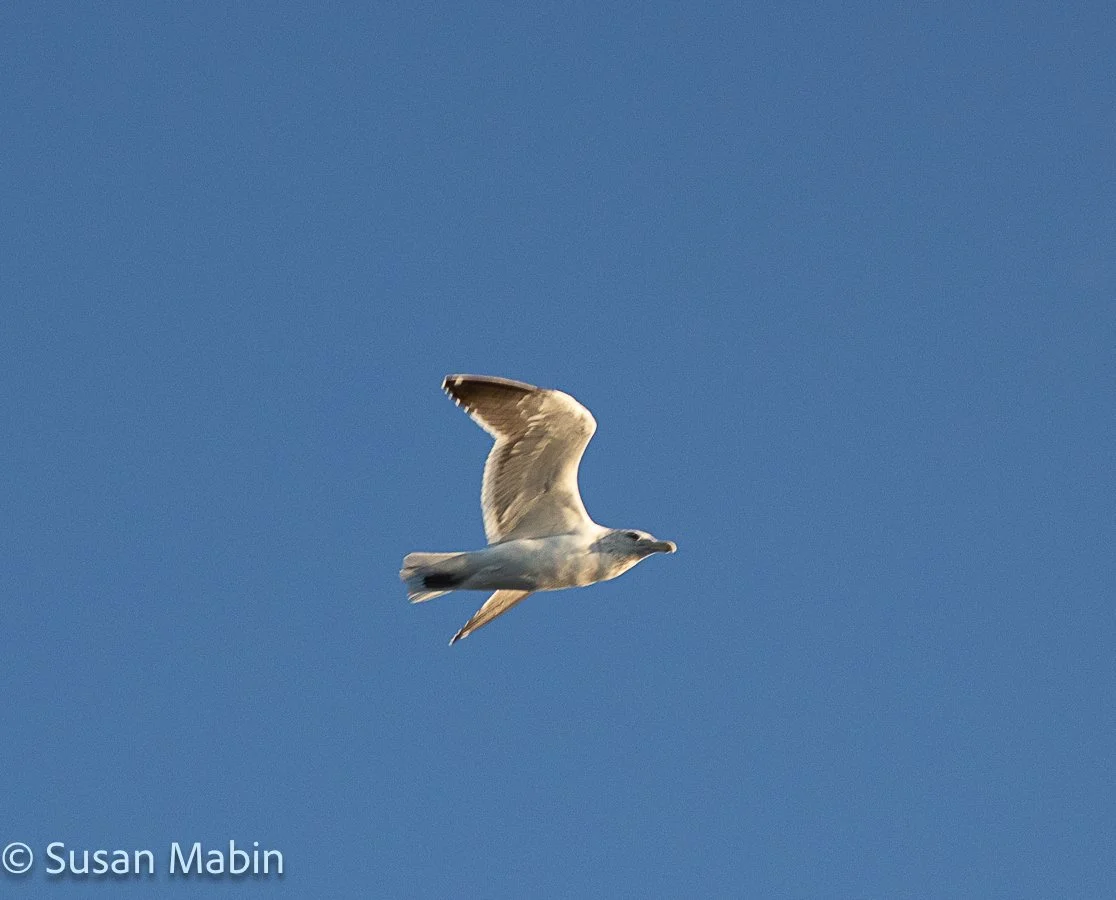
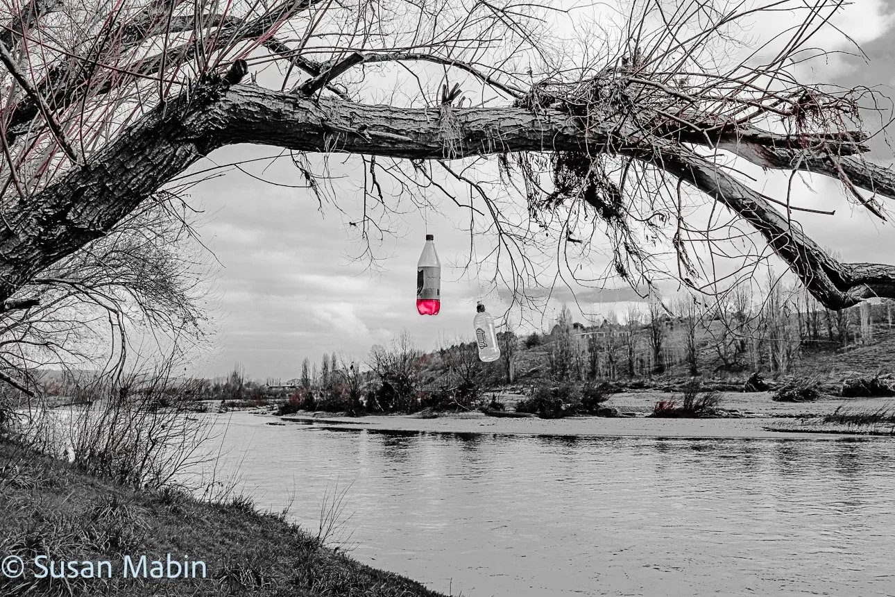
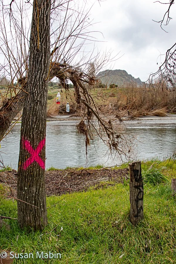
I collected the flora for the Tukituki River Map down by Red bridge, on Waimarama Rd. (and took some photos).
Tukituki River Map. 2022.
Tukituki River Map. Winter. 2022.
I also made some individual sculptures from blackberry branches and harakeke. These are on my sculpture page. (link). I exhibited these at Muse Gallery, Havelock North in 2022.
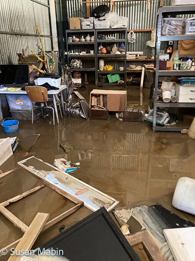
The floods of Cyclone Gabrielle, decimated these zones, and after my studio was flooded, once that was cleaned up and some things salvaged, I got through 2023 by working from a garage at a friends place for a few months, but felt a bit displaced and decided that I would leave Hawke’s Bay and go on another adventure to the Northern Hemisphere for a complete change of scenery! I applied for some artist residencies and planned a trip around the residencies, leaving NZ in January 2024 and back mid September 2024.